Request Your Map
-
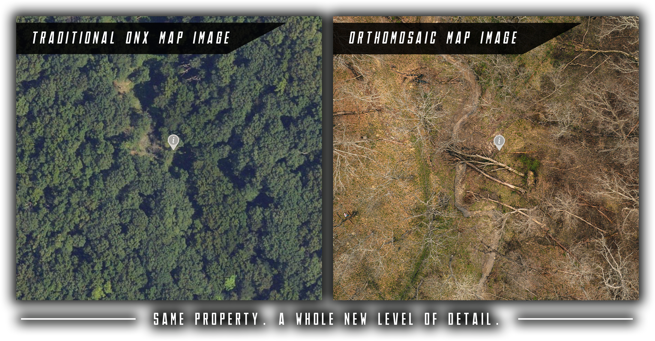
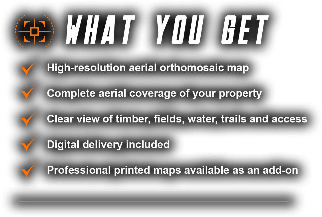
An orthomosaic map is a detailed aerial image created by combining hundreds of overlapping drone photos into one seamless view of your property.
Instead of relying on standard satellite imagery, I capture your property from above and process the images into a high-resolution map that gives you a closer look at the land you know best.
From timber edges and field transitions to trails, clearings, and water features, an orthomosaic gives you a detailed view of your property to help you plan hunts, improve access, and make informed land management decisions.
-
An orthomosaic map is created from aerial photos captured specifically for your property and stitched together into a detailed image. Because the imagery is captured at a lower altitude, it can reveal details that may be difficult to see in standard satellite imagery. The level of detail depends on the flight and processing conditions, as well as the imagery you're comparing it against.
-
Yes! I can map properties of varying sizes and divide larger properties into multiple maps when needed. Whether you want one map covering your entire property or separate maps for specific sections, I can tailor the mapping to your land and how you plan to use it.
-
Yes! In addition to your digital map, professional printed maps are available as an add-on. Printed maps are a great option if you prefer a physical copy to reference while planning hunts, navigating your property, or working on land management projects. Let me know if you're interested in a printed version when requesting your quote.
-
Absolutely! Printed maps can be customized with existing or planned tree stand locations, food plots, trails, access routes, bedding areas, and other important landmarks or points of interest. I can also include a map legend and cardinal directions to make your map easier to read and reference in the field. Simply provide the locations and markings you'd like included, and I'll tailor your map to your goals, whether you're planning hunts, managing habitat, improving access, or making other improvements to your property.
-
If you provide a suitable property boundary file or other reliable boundary information, I can discuss incorporating it into a printed map. Aerial imagery alone does not establish legal property boundaries, and these maps are not a substitute for a professional land survey.
-
Your property changes throughout the year, and each season reveals something different. Having maps captured in spring, summer, fall, and winter gives you a more complete picture of your land as vegetation, field conditions, water features, and visibility change throughout the year.
Comparing seasonal maps can help you plan hunting strategies, evaluate habitat and timber, identify access routes, monitor land management projects, and plan future improvements.
Not sure which season would be most beneficial for your property? Tell me about your land and your current goals, whether it's improving hunting opportunities, managing habitat, planning property improvements, or something else. I'll help recommend the best time to capture your map based on what you want to accomplish.

See Your Property Through Every Season
Your land never stays the same. From spring growth and summer vegetation to fall color and winter's clearer views, each season reveals something different about your property.
Seasonal aerial maps help you better understand changes in vegetation, access, habitat, and land conditions throughout the year. Use them to plan hunting strategies, evaluate habitat improvements, manage trails and fields, and make informed decisions about your land.
Not sure when to map your property? Tell me what you're looking to accomplish, and I'll help recommend the best time to capture your aerial imagery.
Capture one season or build a collection of all four.